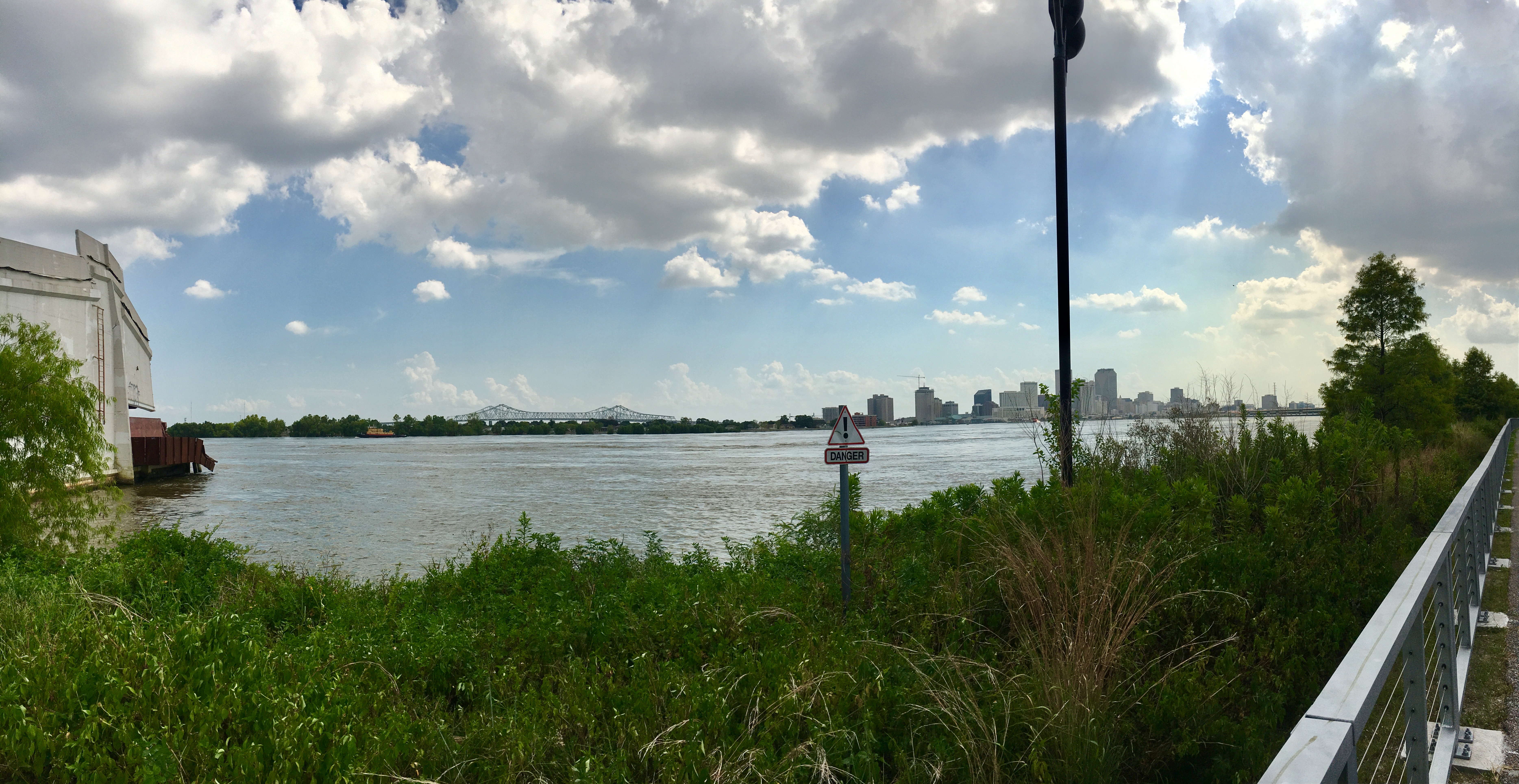
Engineering and Planning: Are we learning to make better places?
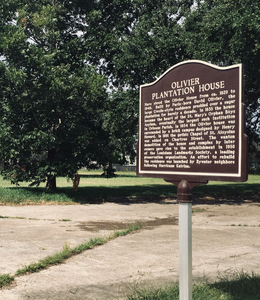
History of Olivier Plantation House: http://www.richcampanella.com/assets/pdf/article_Campanella_Preservation-in-Print_2017_Dec_Olivier%20House.pdf
Proposed future of this plot: https://www.nola.com/news/article_393949ab-d2fb-5ace-a324-1cd125578540.html
